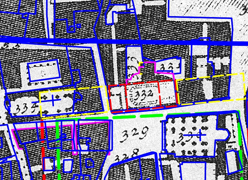
FORTVNA PAPERS 3, Fig. 63, Campus Martius

Fig. 63
Overlay of Giambattista (G.B.) Nolli's Large Rome map (1748,
enlarged) and the photogrammetric data (cf. here Fig.
62, detail), showing the ground-plan of the Palazzo Capranica at the
Piazza Capranica. F.X. Schütz & C. Häuber, "AIS ROMA",
reconstruction 2017. Cf. Häuber (2017, 77, Fig.
3.7.3).
zurück zur Hauptseite FORTVNA PAPERS 3
Go to main page: https://fortvna-research.org/Digitale_Topographie_der_Stadt_Rom/
Datenschutzerklärung | Impressum
