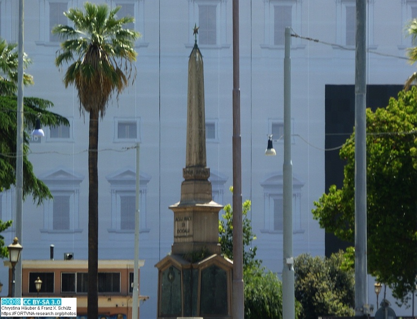

Am 11. Juni 1883 wurde unter der Leitung von Rodolfo Lanciani eine Ausgrabung in der Via del Beato Angelico, einer engen Straße bei der Kirche Santa Maria sopra Minerva begonnen. Sechs Meter unter der Straßenoberfläche wurde der komplett erhaltene Obelisk gefunden, der ca. sechs Meter lang war und auf allen vier Seiten beschriftet war, vgl. WESTEIJN 2018, S. 334: "The location was the Via del Beato Angelico, the small dead-end street that leads from the apsis of the church Santa Maria sopra Minerva to the Via di Sant' Ignazio ... Six meters below ground level, numerous artefacts were unearthed that could be connected to the Iseum Campense ... an entirely intact obelisk in red granite, measuring some 6 metres and inscribed with hieroglyphs on all 4 sides."
Am 5. Juli 1883 wurde der Obelisk komplett aus der Erde geholt, vgl. WESTEIJN 2018, S. 335: "After a month of hard work, the obelisk was excavated in its entirety on 5 July".
Zitierte Literatur:
WESTEIJN, Arthur (2018): Egyptian memorials in modern Rome: The Dogali obelisk and the altar of the fallen fascists. In: VERSLUYS, M.J., BÜLOW CLAUSEN, K., CAPRIOTTI VITTOZZI, G. (eds.) 2018a, The Iseum Campense from the Roman Empire to the modern Age Temple - Monument - Lieu de Mémoire, Proceedings of the international conference held in Rome at the Royal Netherlands Institute in Rome (KNIR), the Accademia di Danimarca, and the Accademia d'Egitto, May 25-27 2016, Papers of the Royal Netherlands Institute in Rome, Mededelingen van het Koninklijk Nederlands Instituut Rome 66 (2018), Roma: Edizioni Quasar di Severino Tognon 2018. Seiten 333-352.
Datenschutzerklärung | Impressum