
Obelisk Piazza di S. Giovanni in Laterano - "Lateran obelisk", Rom
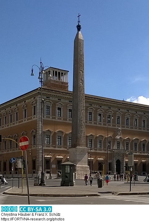
Original Bildunterschrift aus FORTVNA PAPERS 2, S. 115:
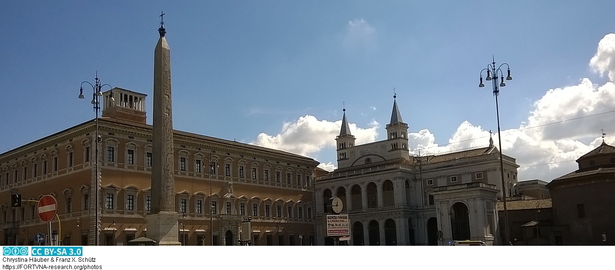
"Fig. 5.1. The obelisk standing on the Piazza di S. Giovanni in Laterano, also known as the `Lateran obelisk´.
Augustus had originally planned to bring this tallest of extant obelisks from Karnak to Rome, but it was only
brought there under Constantius II, who erected it on the spina of the Circus Maximus. He thus deliberately
copied Augustus’ concept of placing an obelisk on the spina in the Circus Maximus; cf. ns. 64, 214, and
chapters Domitianʹs Obelisk, the Obeliscus Pamphilius, Appendix 5, Appendix 10, VIII. EPILOGUE (photo:
F.X. Schütz 27-IX-2015)."
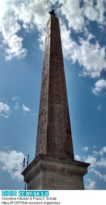
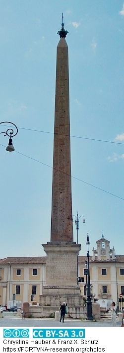
Zitat aus FORTVNA PAPERS 2, S. 162:
"After Maxentius, the 5.) of these
Architekturkopien would be planned by Constantine the Great. Already Augustus had intended to bring the
tallest of extant obelisks, the Lateran obelisk (Fig. 5), from Karnak to Rome, a monolith still weighing ca. 455
tons (part of it was unfortunately broken off in the 16th century, in the course of moving it to S. Giovanni in
Laterano). Constantine the Great wanted this obelisk for his new capital, Constantinople (today: Istanbul),
although only his son, Constantius II, should be successful in this respect: but instead of erecting it at
Constantionople, he placed the obelisk on the spina of the Circus Maximus, where Augustusʹ obelisk (Fig. 1.2)
was still standing at the time (for all that, cf. Appendix 5, chapter VIII. EPILOGUE, infra, pp. 427ff.,598ff.)."
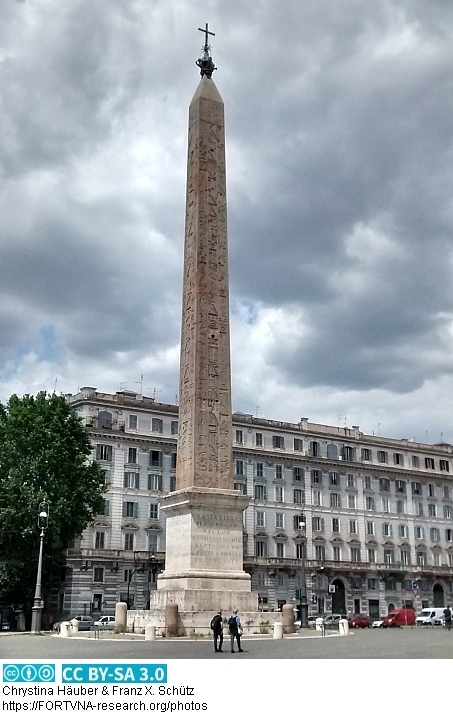
Zitat aus FORTVNA PAPERS 2, S. 382:
"Also the Lateran obelisk (here Fig. 5.1) was crowned with a gilded globe, when it was erected on the spina in
the Circus Maximus in the 4th century; cf. supra, n. 64 and Appendix 5, infra, p. 427ff."
zu FORTVNA PAPERS 2 incl. download des kompletten Bandes
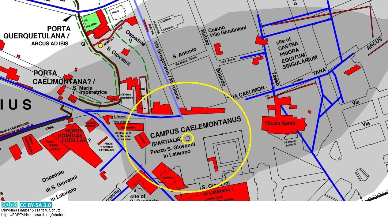
Ausschnitt der korrigierten und erweiterten Romkarte von Chrystina Häuber (2014, Map 3), der Sockel des Lateransobelisken befindet sich in dem kleineren
gelben Kreis. Im Buch von Chrystina Häuber über Domitian, FORTVNA PAPERS III,
heißt diese Karte `Fig. 71´. Zur georeferenzierten Karte.
Go to main page: https://fortvna-research.org/Digitale_Topographie_der_Stadt_Rom/
last update: 30.5.2023
Datenschutzerklärung | Impressum


